Follow the water
Channels, low ground and tidal movement suggest how a landscape connects. Our studies use simple diagrams to make those patterns visible.
Coastal landscapes & ecological thinking
An independent space for exploring coastal landscapes, changing shorelines and the ecological relationships that give an edge its character.
Explore the thinking ↗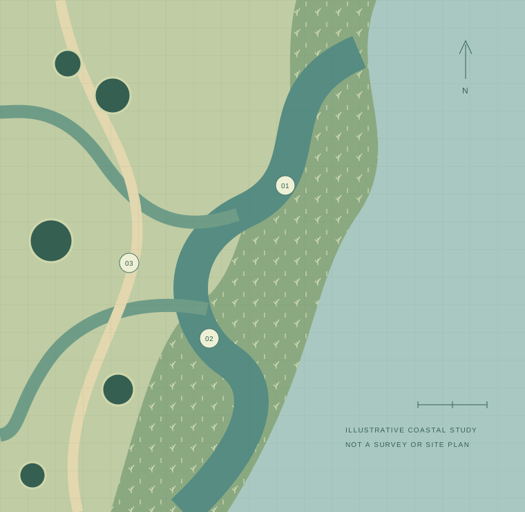
The Tideatlas perspective
Channels, low ground and tidal movement suggest how a landscape connects. Our studies use simple diagrams to make those patterns visible.
The relationship between wet and dry ground can support a varied landscape. Illustrations explore that gradient rather than treating the shore as one fixed line.
Paths and places to pause can shape how a landscape is experienced. Concept studies look at access alongside the character of its surroundings.
About this space
Tideatlas is an independent coastal landscape concept and research space. It brings together illustrative studies of water, vegetation and access, with an interest in how these elements relate to one another.
They are illustrative observation points for discussing water movement, landscape transitions and access. They do not identify measured or surveyed locations.
The wetland diagram is an original illustrative study. It is not a survey, a scientific dataset, a completed site project or a site-specific ecological recommendation.
Continue the conversation
Questions about the project and its visual studies are welcome.